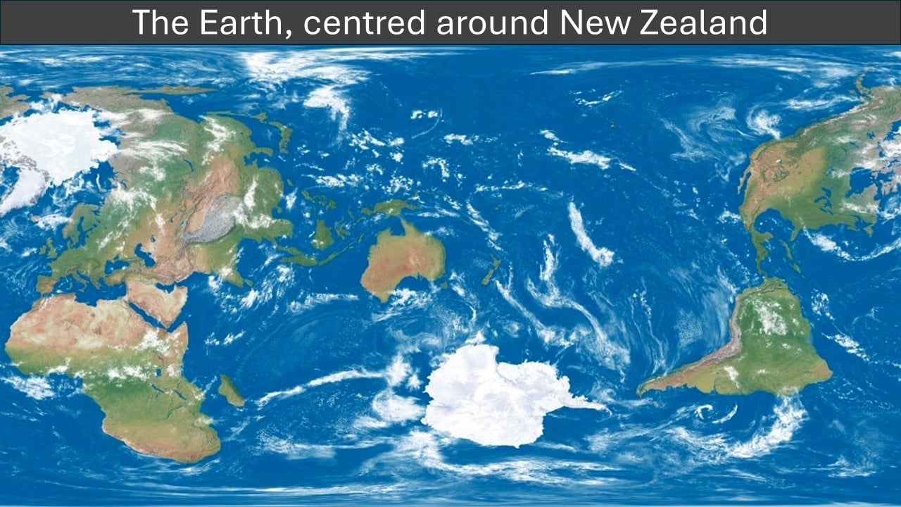
The biggest landmass nearest to the edge is Africa (+a slight margin for human pleasure) so it probably made sense to keep that one intact for the readability of the map (cutting Alaska and Canada isn’t actually that much km²).
It could have been rotated slightly to move Africa away from the edge, Canada back towards the rest of the Americas, then a slight move could avoid splitting any land, and NZ could be better centred

It’s actually centred just off the coast of the southeastern corner of Australia
Maps without the correct concept of New Zealand.
Shhh, you’ll give away the true location of New Zealand.
The biggest landmass nearest to the edge is Africa (+a slight margin for human pleasure) so it probably made sense to keep that one intact for the readability of the map (cutting Alaska and Canada isn’t actually that much km²).
It could have been rotated slightly to move Africa away from the edge, Canada back towards the rest of the Americas, then a slight move could avoid splitting any land, and NZ could be better centred
It’s Tassie time!
How do you do this by accident? It would have cut off less of Alaska done properly, even.
Less of Alaska, but more of Africa.
Maybe OP is Mauritanian.
But that would cut off more western Africa than the entire size of Alaska.
Hmm, I guess I didn’t account for the projection. It does look like it’s compressing Africa here.